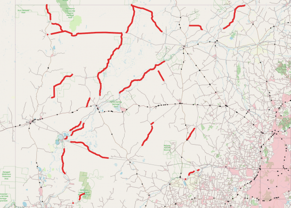
If you’re planning a road trip across NSW, there are over 800 official rest areas. But are there enough?
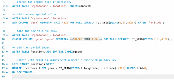
There are a few gotchas when trying to add a spatial column to an existing MySQL table. Especially if you want to have a spatial index, which is kind of the point. This document goes through the process I had… Continue Reading →
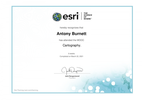
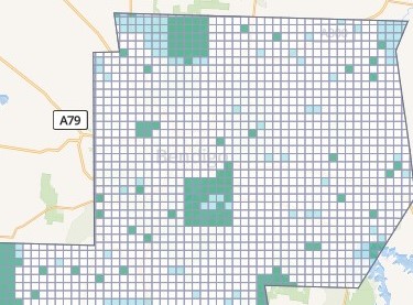
A 6-week MOOC finishing in March 2021. The course covered everything in cartography from theming, animating, 3D visualisations, temporal maps, and more. Symbolising a map Creating Layouts for Print Projections – what to use when Classifying data Generalising data –… Continue Reading →
I’ve always been a bit of a data person – it comes with the territory of being a mapping person. However, as a small business owner, I’ve never had the need for a product like FME. Until now that is…. Continue Reading →
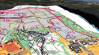
Orienteering at Balls Head brings back quite a range of emotions.
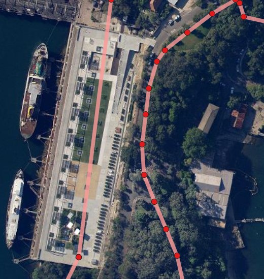
Have you ever wanted to overlay your GPS route on top of an orienteering map? This article explains how it can be done.

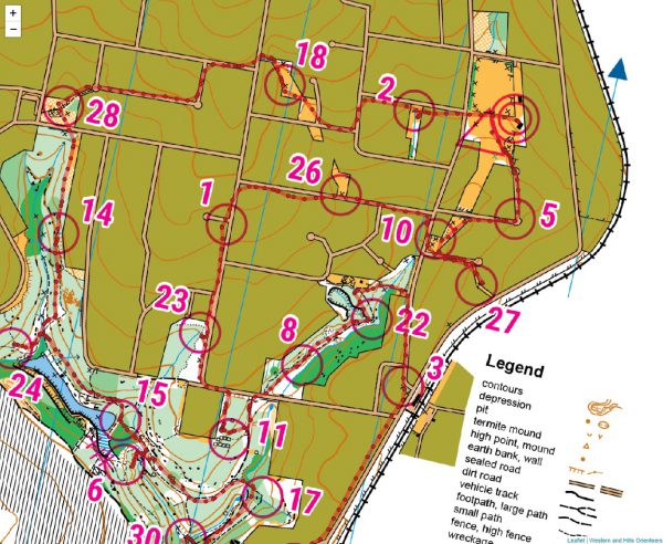
This week saw the Sydney Summer Series orienteering venture to Western and Hills Orienteers’ Vineyard Creek map in Telopea.
Race review of event #6 of the Sydney Summer Series of orienteering. This week – Forestville.
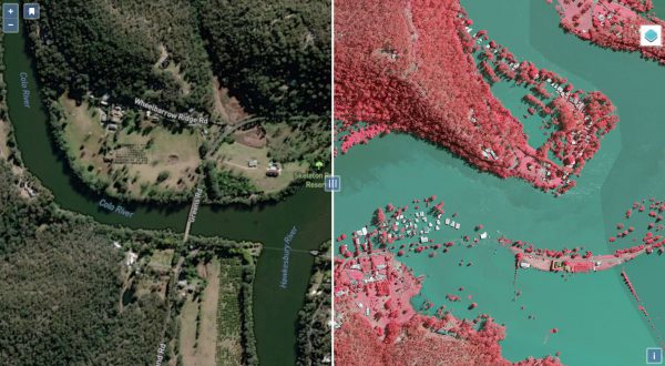
I’m guilty of sometimes getting stuck in an OpenStreetMaps mapping session telling myself ‘just one more edit’. To put this trait to good use, this weekend I participated in the FireWaterMapathon.
© 2024 ant.burnett.com.au — Powered by WordPress
Theme by Anders Noren — Up ↑